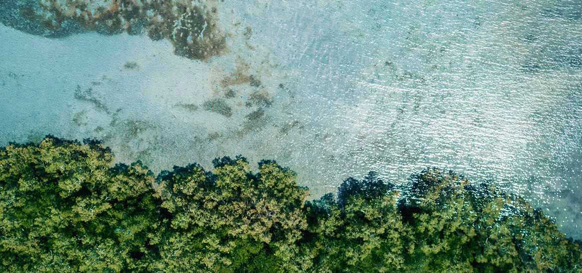
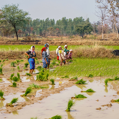
Regionally, WWF works on 47 mangrove sites, mainly in the Philippines and Indonesia.
Project developers will receive training to improve their projects, while novel solutions for tracking carbon and biodiversity, and involving local communities, will be tested.
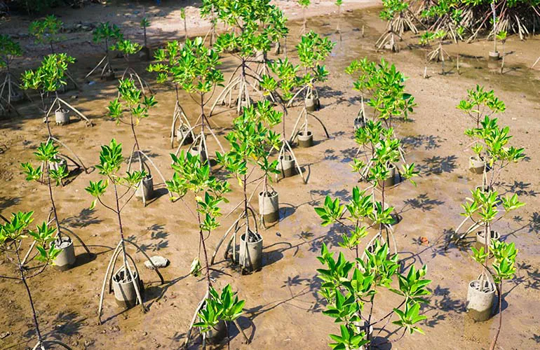
To reduce sapling deaths at some of the sites, WWF is mimicking the way mangrove forests work at the plant nurseries. At plots in Malaysia, this has helped to raise the survival rate of the saplings to 90 per cent, said Mr Manokara.
The aim of the new programme is to scale up and sustain the success of such solutions across restoration sites.
New livelihoods can also be created through seaweed farming and having the community patrol the project sites, Mr Manokara added.
On a related note, Singapore’s space office under the EDB launched a grant call on 15 January, seeking new ways to measure carbon, or biomass, in various habitats by using satellites, geospatial solutions, and other space technologies.
It is important to measure biomass accurately to calculate the amount of carbon stored in a particular area, and to then verify carbon credits.
Satellite remote sensing gets around some of the limitations in calculating carbon, and geospatial data can provide comprehensive observations across vast areas.
Under the grant, the Office for Space Technology and Industry wants research institutes with expertise in satellite technologies, artificial intelligence modelling, and carbon science to develop digital methods that meet the technical challenges of estimating biomass in Southeast Asian ecosystems.
Industry partners like project developers and satellite operators will co-fund at least 30 per cent of each selected project, and ensure the new solutions are scalable and economically viable.
The aim of both the support programme and the space office’s grant is to ensure that blue carbon projects can grow to a viable scale and attract investment.